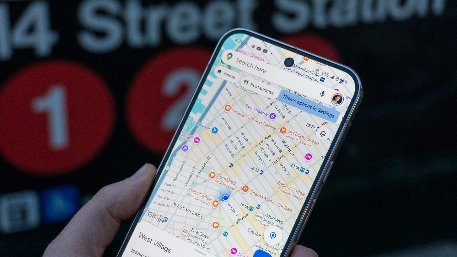
Google Maps update lets commuters report transit delays
Google is rolling out an update to Maps that lets you report transit delays yourself
🚋 Google Maps now lets you report transit delays yourself
🚉 This will help keep delay information up to date
🛍️ The app is also getting a new shopping feature
📱 These updates are rolling out now to everyone
Looking out for your fellow commuter is about to get a lot easier. Google has announced it’s rolling out an update to Google Maps that lets you report transit delays yourself, which can help keep arrival times far more up-to-date than the information Google might have when you arrive at your stop. The feature is being released alongside some new shopping features and routing options for larger vehicles.
Check out: Samsung Galaxy S25 release date rumors point to January 22 launch
Google Maps transit delay reporting is here
Reporting transit delays is pretty easy. In Google Maps, pull up the service line that’s causing you issue and tap the “Report delay” button. From there, the app will double check which line you’re talking about and confirm the delay, which is then sent to Google. Public delay reports and information from travel agencies will be used in conjunction to let you know how far behind a train, bus, or other method of transportation is, which will especially be helpful with the holidays approaching.
As a fake New Yorker (a.k.a. I’ve been to Penn Station a total of five times), relying on Google Maps for subway train delays is crucial for timing out when I need to leave to make my meetings on time. Opening up delay reports to the public will help to keep the time of each train a lot more accurate than before.
Check out: PS5 Pro hands-on review: 72 hours with Sony's new PlayStation console
In addition to transit delays, Google Maps is also getting a new shopping feature. You can now search for items directly in Maps and find stores selling them in your area. Directions will be readily available, and it’ll save you a trip from having to open your web browser to find what you’re looking for.
Google is also adding a new feature to make mapping out routes for larger vehicles easier. If you’re hauling a trailer or other cargo and you’re in a car with Google Maps built-in, you can enter the dimensions of the cargo before traveling so your route will avoid low overpasses, tunnels, and bridges. So far, the only cars supported are the 2024 Chevy Tahoe, Chevy Suburban, and GMC Yukon, but more are expected to gain the feature in the future.
EVs are also getting a new feature in today’s update. Now, before you embark on your journey, you can enter your vehicle’s make and model to find all the charging stops you’ll need to make along the way. Your route can then adapt to where they’re located to ensure you always have a charge.
All of these updates are starting to roll out now. Everyone should get them in the next 2-3 weeks.
Max Buondonno is a writer at The Shortcut. Follow him on X @LegendaryScoop.


